The directions below are for professional staff and official visitors travelling to the MGIO astronomy site.
Persons participating in the Eastern Arizona College Discovery Park summit tours meet at the Discovery Park campus. See the For the Visiting Public page for more information about the public tours.
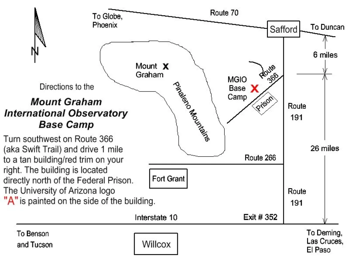
The MGIO Base Camp is located six miles south of Safford on State Route 366, also known as Swift Trail. We are on the east side of Mt. Graham at the base of the mountain. We are located across the street from the Safford Federal Correctional Institute.
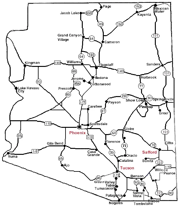
To give some perspective, the map below shows Safford in relation to Tucson and Phoenix:

The map below shows the location of the base camp in a bit closer perspective:

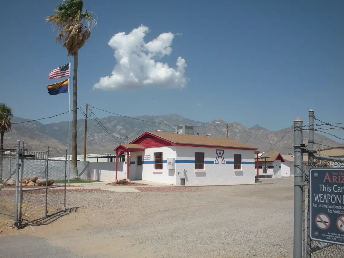
Coming from Tucson on Interstate 10 heading east, take exit #352 and drive north about 26 miles (go past State Route 266) to the intersection of State Route 366. Turn left onto SR-366 and proceed one mile. The Base Camp will be on your right. Look for a white building with the University of Arizona "A" on the side:

Please check in with the office staff to insure your permits are in order and to "log in" your presence at the observatory. This is important in the event of an emergency, such as a fire, so that we can account for all persons.
The Base Camp opens at 7:30am and closes at 4:00pm Mountain Standard Time, non-holiday weekdays. For after hours instructions, please review the Orientation Package.
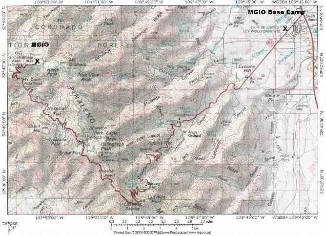
The map below shows the mountain road, named Swift Trail, from the Base Camp to the summit facilities. If you would like a more detailed version of this map, click the link at the bottom of this page.

